Value proposition
[Automatic translation follows] The site of Walloon Geographic Information and the geomatics community of Wallonia.
Initiated by the Walloon Public Service, the Walloon Geoportal is the gateway to Walloon geographic information and geomatics activity.
Do you work in the public or private sector? Are you a town planner, forestry agent, surveyor, researcher or responsible for developing an application requiring geographic data? You will find essential data for your projects and a whole range of useful tools on the Geoportal.
The Geoportal is also your direct link to the entire Walloon geomatics community and a window to European geographic information.
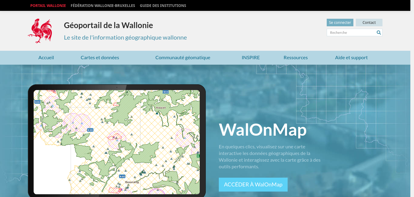
From the Geoportal, also access the WalOnMap map application. In just a few clicks, view geographic data relating to the Walloon territory on an interactive map. Reliable, quality information made available to all by public authorities.
Want to know more ? Contact the Wallonia Geoportal: helpdesk.carto@spw.wallonie.be
geomatics, GIS, cartography, Topography, Geographic information, geodata, GIS, and WebGISOriginal language
Le site de l'Information géographique wallonne et de la communauté géomatique de Wallonie.
Initié par le Service public de Wallonie, le Géoportail de la Wallonie est la porte d'entrée vers l'information géographique et l'activité géomatique wallonnes.
Vous travaillez dans le secteur public ou privé ? Vous êtes urbaniste, agent forestier, géomètre, chercheur ou responsable du développement d'une application nécessitant des données géographiques ? Vous trouverez sur le Géoportail des données indispensables pour vos projets et toute une panoplie d'outils utiles.
Le Géoportail, c'est aussi votre lien direct avec toute la communauté géomatique wallonne et une fenêtre vers l'information géographique européenne.
Depuis le Géoportail, accédez également à l'application cartographique WalOnMap. En quelques clics, visualisez sur une carte interactive les données géographiques relatives au territoire wallon. Des informations fiables et de qualité mises à disposition de tous par les pouvoirs publics.
Envie d'en savoir plus ? Contactez le Géoportail de la Wallonie : helpdesk.carto@spw.wallonie.be
geomatique, GIS, cartographie, Topographie, Information géographique, geodata, SIG, and WebGIS
Accueil | Géoportail de la Wallonie
Géoportail de la Wallonie, le site de l'information géographique wallonne !
https://geoportail.wallonie.be/home.html
| Corporate | Type | Tweets | Articles | |
|---|---|---|---|---|
| INFOPOLE Cluster TIC IT Services and IT Consulting | INFOPOLE Cluster TIC IT Services and IT Consulting | Other 31 Aug 2022 | | |
| IGN - French Mapping Agency (Institut Géographique National) GIS, Government Administration | IGN - French Mapping Agency (Institut Géographique National) GIS, Government Administration | Other 31 Dec 2023 | | |
| Eurostat European Union, Environmental Services | Eurostat European Union, Environmental Services | Other 29 Jun 2023 | | |
| Agoria Non-profit Organizations | Agoria Non-profit Organizations | Other 31 Jan 2024 | | |
| Digital Wallonia IT Services and IT Consulting | Digital Wallonia IT Services and IT Consulting | Other 17 Mar 2024 | | |