LP360 Drone and Geospatial

- BETA

Up & running (A)
Existing signals show a regular activity Social networks
620Activities
Technologies
Entity types
Location
Madison, AL, USA
Madison
United States of America
Employees
Scale: 201-500
Estimated: 14
Engaged corporates
1
1 0Added in Motherbase
6 months, 1 week ago
Value proposition
The professional choice in geospatial data processing software, made in the U.S.A. since 2006
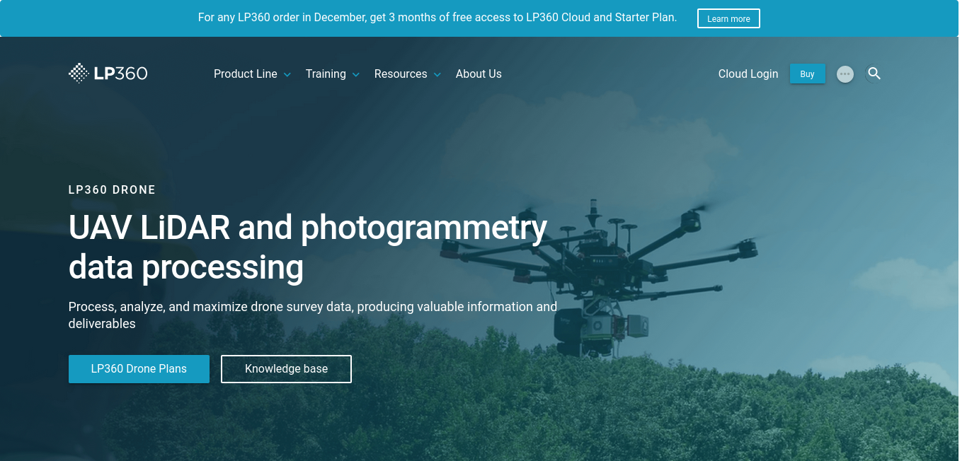
UAV LiDAR and photogrammetry data processing
Process, analyze, and maximize drone survey data, producing valuable information and deliverables
Surveying, LiDAR, geomatics, data processing, photogrammetry, geospatial, pointclouds, georeferencing, and UAV
LP360 Drone: UAV LiDAR and photogrammetry data processing - LP360
A full geospatial workflow for your LiDAR and Imagery data with visualization, QA/QC Check, Classification, 3D editing and analysis capabilitiesProcess, analyze, and maximize drone survey data, producing valuable information and deliverables
https://www.lp360.com/product-line/lp360-drone/
| Corporate | Type | Tweets | Articles | |
|---|---|---|---|---|
| Aerospace Valley Public business cluster, French Cluster, Aviation and Aerospace Component Manufacturing | Aerospace Valley Public business cluster, French Cluster, Aviation and Aerospace Component Manufacturing | Other 7 Jul 2023 | | |