
-
Value proposition
[Automatic translation follows] IGN, change scale
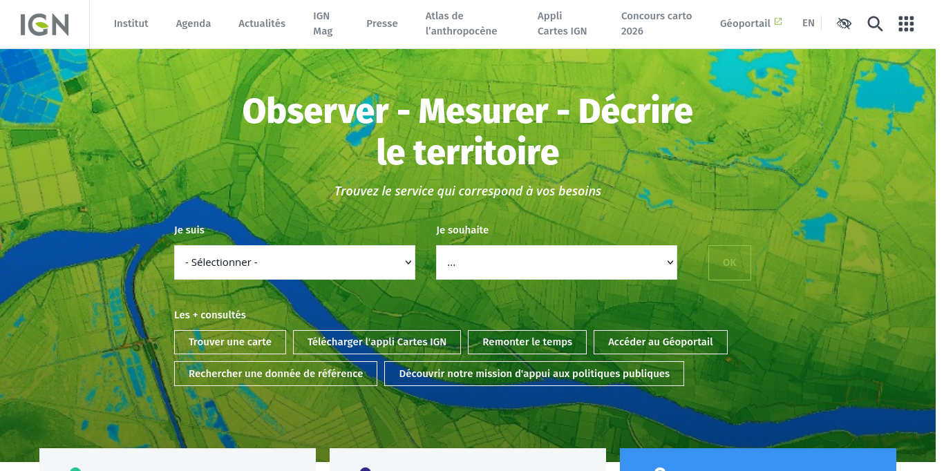
The IGN is the State operator of reference geographic and forest information, certified neutral and interoperable. The Institute is constantly developing new repositories, products and geoservices, responding to the growing and evolving needs for cartographic data and geolocalized information.
A powerful public digital player for the multi-thematic description of the territory, the Institute supports the evaluation and implementation of public policies for risk prevention, territorial planning, sustainable development, defense and national security. Thanks to its five research laboratories, the IGN maintains high-level innovation potential in the fields of geodesy, vector topography, optics and electronics, image processing and forest inventory.
The IGNfab project accelerator supports innovative startups in digital geoservices;
ENSG-Géomatique, the National School of Geographic Sciences of the IGN, trains future geographic information engineers.
Mapping, Geolocation, Teaching & Research, Forest inventory, Geodesy-Leveling, Topography, Spatial, Image processing, Forest, Environment, and Geodata -
Original language
IGN, changer d'échelle
L’IGN, est l’opérateur de l’Etat en matière d’information géographique et forestière de référence, certifiée neutre et interopérable. L’Institut développe en permanence de nouveaux référentiels, produits et géoservices, répondant aux besoins croissants et évolutifs en données cartographiques et en informations géolocalisées.
Puissant acteur public du numérique pour la description multi-thèmes du territoire, l’Institut intervient en appui à l’évaluation et la mise en œuvre des politiques publiques de prévention des risques, d’aménagement du territoire, de développement durable, de défense et de sécurité nationale. Grace à ses cinq laboratoires de recherche, l’IGN entretient un potentiel d’innovation de haut niveau dans les domaines de la géodésie, de la topographie vectorielle, de l’optique et de l’électronique, du traitement des images et de l’inventaire forestier.
L’accélérateur de projets IGNfab soutient des startups innovantes en géoservices numériques ;
L’ENSG-Géomatique, l’Ecole nationale des sciences géographiques de l’IGN, forme les futurs ingénieurs de l’information géographique.
Cartographie, Géolocalisation , Enseignement & Recherche , Inventaire forestier, Géodésie-Nivellement, Topographie, Spatial, Traitement des images, Forêt, Environnement, and Geodata
-
IGN : produire et diffuser les données géographiques et forestières en France - Portail IGN - IGN
IGN : produire et diffuser les données géographiques et forestières en France - Portail IGN - IGN
https://www.ign.fr/
| Entity | Type | Tweets | Articles | |
|---|---|---|---|---|

|
Lab'URBA
deeptech, Think Tanks (Auto) |
Other
8 Sep 2026 |
|
|
|
TEDxIleDeNantes
it services, Non-profit Organizations (Auto) |
Other
12 Aug 2026 |
|
|

|
Santé Psy Étudiant
healthtech, edtech, Government Administration (Auto) |
Other
31 Dec 2025 |
|
|

|
Arts et Métiers - École Nationale Supérieure d'Arts et Métiers
deeptech, Higher Education (Auto) |
Other
30 Jun 2026 |
|
|

|
Albedya
it services, Software Development (Auto) |
Other
2 Sep 2026 |
|
|

|
Allary Éditions
Book and Periodical Publishing (Auto) |
Other
30 Aug 2026 |
|
|

|
Numérian
it services, privacytech, IT Services and IT Consulting (Auto) |
Other
30 Jun 2026 |
|
|

|
Société Française de Statistique
it services, Research Services (Auto) |
Other
30 Jun 2026 |
|
|

|
Think Smartgrids
greentech, it services, energytech, Industry Associations (Auto) |
Other
30 Jun 2026 |
|
|

|
SOGEFI INGENIERIE GEOMATIQUE
it services, IT Services and IT Consulting (Auto) |
Other
31 May 2026 |
|
|